Mapping & GIS
After the recording, the images are, if necessary, post-processed and merged into a geographically correct 3D model. From this 3D point cloud we export the the orthogonal projection of that 3D set into a GEO Tiff image that can used in your GIS.

Raw recording.
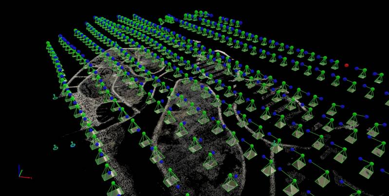
3D GEO Referenced Point Cloud.

Result in GIS system.
Specifications:
| Product | Sensor Type | Bits | Resolution [m/pixel] | Typical Map Size [ha] |
|---|---|---|---|---|
| RGB Color GEO Tiff | CMOS | 10 | 0.07 | 1000-5000 |
| NIR GEO Tiff (Red Edge, 695nm, 735nm, 808nm, 850nm) | CCD | 12 | 0.10 | 1000-5000 |
| TIR GEO Tiff (Thermal Infrared) | Uncooled VOx Microbolometer | 16 | 0.35 | 1000-5000 |
| Hyperspectral Image (430-960nm, Δλ 3nm) | CMOS | 14 | 0.20 | 10-100 |
| SWIR (950-1700nm) | Cooled InGaAs | 16 | 0.4 | 1000-5000 |